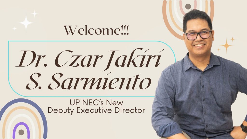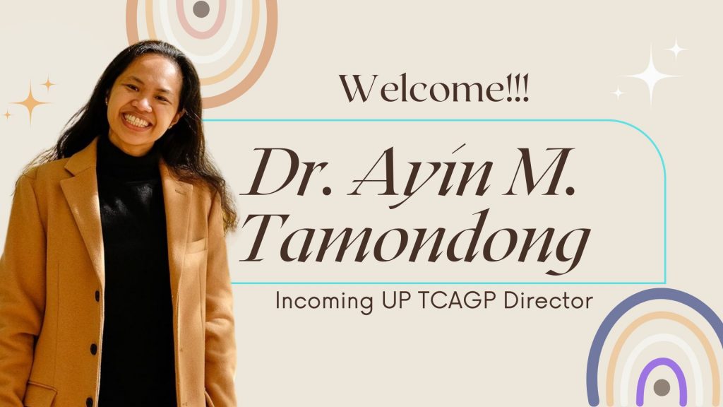

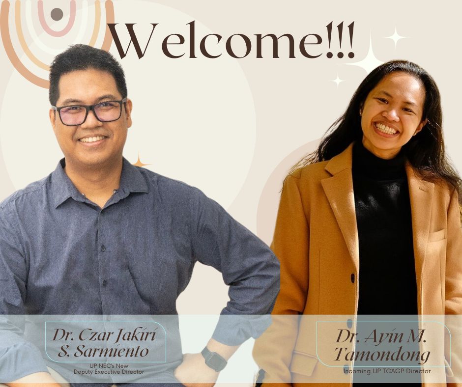
Today, April 1, 2024, UP NEC welcomes Dr. Czar Jakiri S. Sarmiento of the Department of Geodetic Engineering, as he officially assumes office as Deputy Executive Director, succeeding Dr. Rosalie B. Reyes of the same department. We also welcome, Dr. Ayin M. Tamondong as she steps in as the new director of UP Training Center of Applied Geodesy and Photogrammetry (TCAGP), UP NEC’s constituent center.
Dr. Czar Jakiri Sarmiento earned his Ph.D. in Surveying and Spatial Information Systems from the University of New South Wales. He led a number of research projects on Smart Cities, Space Applications, Archaeology and Geodesy. In addition to his academic career, he also consulted for the UN and international and national aid organizations. Currently, Jak actively contributes to the crafting of the new National Land Surveying Manual and to the development of the New Philippine Reference Systems. He held pivotal roles as the Chairman of the UP Department of Geodetic Engineering and the Director of the Training Center for Applied Geodesy and Photogrammetry, Jak plays a key part in shaping the field. He is also the founder and managing director of the Research and Development Laboratory for Computational Geodesy. Jak’s achievements include the 2023 Most Outstanding Geodetic Engineer in the Academe Award from the Geodetic Engineers of the Philippines, Inc., and the 2022 Professional Degree in Geodetic Engineering Award from the UP Alumni Engineers.
Dr. Ayin M. Tamondong currently holds the position of Associate Professor and served as the former Assistant Department Chair for Administration at the University of the Philippines Department of Geodetic Engineering. With a Ph.D. in Global Engineering for Development, Environment, and Society from the Tokyo Institute of Technology, her research focuses on utilizing remote sensing, GIS, and modeling techniques for environmental studies in the Philippines. Ayin’s academic journey includes the attainment of a Master’s degree in Remote Sensing from the University of the Philippines, complemented by a Bachelor of Science in Geodetic Engineering from the same institution. Her valuable contributions to the field are reflected in published papers addressing environmental dynamics and the application of remote sensing in coastal areas. Ayin extends her dedication beyond academia, leading and participating in diverse projects that underscore her commitment to advancing environmental conservation and sustainable development.